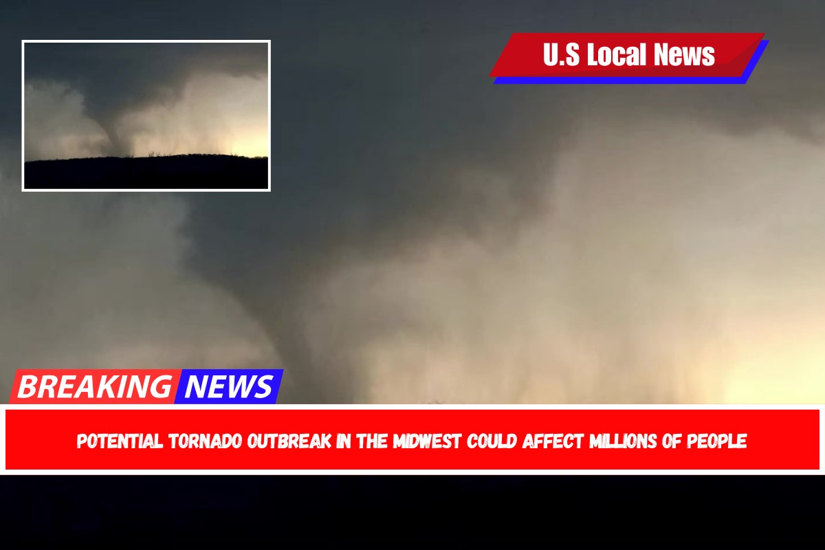
On Monday, a tornado watch was issued for the Midwest, putting millions of Americans on alert, despite the fact that severe weather, including wind and hail, was still battering those areas from a storm that arrived over the weekend.
Northern Iowa, eastern Minnesota (including Minneapolis), and western Wisconsin are all at moderate risk due to the weather. These places have the highest risk of severe tornadoes, huge hail, and catastrophic thunderstorm winds. They are under tornado watch until 11 p.m. CT Monday.

Tornado watches are also in effect in Missouri, Nebraska, Kansas, Texas, and Oklahoma, with winds gusting up to 75 mph. This includes Des Moines and Topeka, and it lasts until 11:59 p.m. CT Monday.
Enhanced risks are also in effect from Kansas City, Missouri, to Green Bay, Wisconsin, and from Duluth, Minnesota, to Sioux Falls, South Dakota.
There is also a minor probability of severe weather from west Texas to the western Great Lakes, including OKC.

On Sunday and Monday, more than 60 million Americans were on watch for severe weather ranging from Texas to the Great Lakes.
On Sunday, ten tornadoes were reported in western Nebraska, coupled with hail larger than a baseball. The Nebraska State Patrol reported that a tornado derailed a train in Hyannis, Nebraska.
Additionally, wind gusts as up to 75 mph were observed in Texas and South Dakota.

On Tuesday, the chance of severe weather remains high from central Ohio to western New York. These places are susceptible to damaging winds, tornadoes, and big hailstorms. A modest chance of severe thunderstorms exists from western Texas to northern Vermont.
A moderate danger of excessive rainfall is also in effect for northern Texas, central Oklahoma, southeast Kansas, and southern Missouri beginning Tuesday afternoon and lasting until Tuesday evening.
Up to 7 inches of rain, large hail, high gusts, and possibly tornadoes are expected in these areas, increasing the risk of flooding in Oklahoma and northern Texas, where heavy rain has already occurred over the weekend.
Police said one person died on Saturday as a result of Oklahoma’s flash floods. Highly saturated topsoil and high-flowing local streams raise the potential of more flash floods in the area following these incoming storms.
Going into Wednesday, there is a moderate risk of excessive rainfall across eastern Oklahoma and western Arkansas, which could bring further heavy rain and increase the risk of flash flooding.