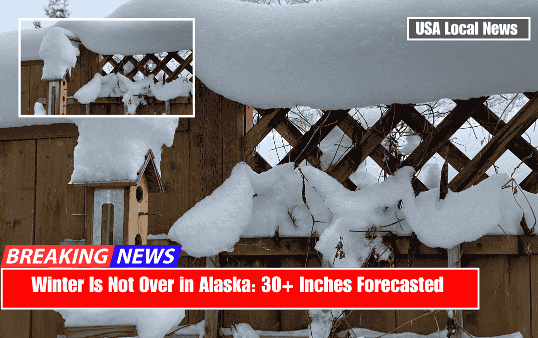
A series of storms will continue to pound parts of South Central Alaska until early next week, dumping moderate to heavy snow and occasionally gusting winds.
Thompson Pass appears to have the highest early totals, while Alyeska and nearby Girdwood continue to accumulate steadily through the weekend.
Daily Storm Forecast

Here are the best day-by-day plays based on overnight snowfall and same-day accumulations. Consider overall snow quality, recent snowfall, and wind factors when planning your chase:
Expect 4-8 inches around Girdwood/Alyeska over the course of Wednesday night and Thursday.
SLRs in the low double digits indicate moderately fluffy powder—not pure blower, but certainly suitable for some surfy morning laps. Thompson Pass will most likely see higher totals (a foot or more) and similar snow density.

Alyeska could stack up another 4-6 inches on Thursday night and Friday, while remaining relatively light. Not a large dump, but enough to refresh the slopes. Winds may pick up in the afternoon, so plan for earlier turns.
Fri Night + Sat Day: Less than 2 inches of new snow. Unless you’re looking for leftover powder, this could be a rest day or an opportunity to explore lower-angle terrain. Previous storms have provided adequate coverage, but there is no significant update here.
Saturday Night and Sunday Day: This is the weekend’s highlight, with 7-12 inches possible at Alyeska. The night portion has an SLR near 10 (moderate density), followed by slightly heavier snow on Sunday (SLR around 7). You’ll still need the snorkel if the higher end confirms, but keep in mind that the snow will become denser by midday.

Combined Sunday Night and Monday Day: Another good shot at 6-11 inches. SLRs return to moderate territory (9-11+), implying quality powder—particularly for the Monday morning bell. Winds may remain breezy, but if they stay under control, expect plenty of soft turns.
Combined Monday night and Tuesday day: only about an inch or two. Not enough to justify a dedicated chase, but existing coverage should ski well if conditions remain cold.
Storm Summary
Good: Multiple storm impulses continue to refresh the snowpack. Most nights should be cold enough to keep stashes safe.
Bad: Heavy snowfall (particularly on Sundays) may cause variable conditions. Keep an eye out for gusty winds affecting ridgelines.
Wildcards: Convective showers may increase local totals if a stronger band forms. Slight discrepancies between forecast data and on-the-ground reports persist, so keep an eye out for updates, particularly on Girdwood versus Thompson Pass totals.
Moisture continues to flow in from the Gulf, slamming into the coastal mountains and depositing significant snow from Portage Valley to Thompson Pass. Thompson Pass is the star through Thursday afternoon, with 12-14 inches expected, while Portage Valley and Whittier will see 10 or more inches.
Farther inland (Girdwood/Alyeska area), storm totals between Wednesday night and Thursday appear to be closer to 4-8 inches, enough to keep slopes fresh.
As we move into Friday and Saturday, widespread showers persist, though accumulations decrease slightly. Winds from the east-southeast may occasionally pick up, causing drifting on higher terrain. Sunday brings another burst of moisture from the southwest, increasing totals by the day’s end.
Expect moderate-density snow to transition to heavier snow by midday Sunday, particularly near the coast. By Sunday night and Monday morning, colder air helps fluff things back up, making Monday morning a prime candidate for deeper turns in the Girdwood zone.
Farther south, areas like Turnagain Pass may experience similar patterns—short lulls followed by convective bursts—so keep an eye on local forecasts for the best microclimate jackpots.
Extended Outlook:
High pressure and ridging are expected over much of the western Lower 48 by mid-April, but parts of Alaska (particularly the western Mainland and Southeast) will continue to experience cooler, snowier conditions.
The takeaway: Another storm or two may still make their way into South Central Alaska before spring arrives. Keep an eye on the forecast, as this unsettled stretch is far from over.