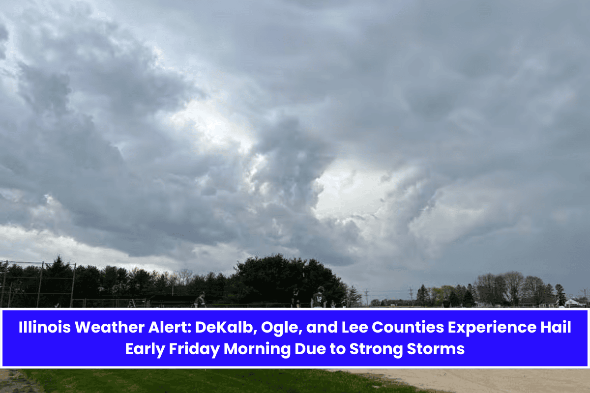
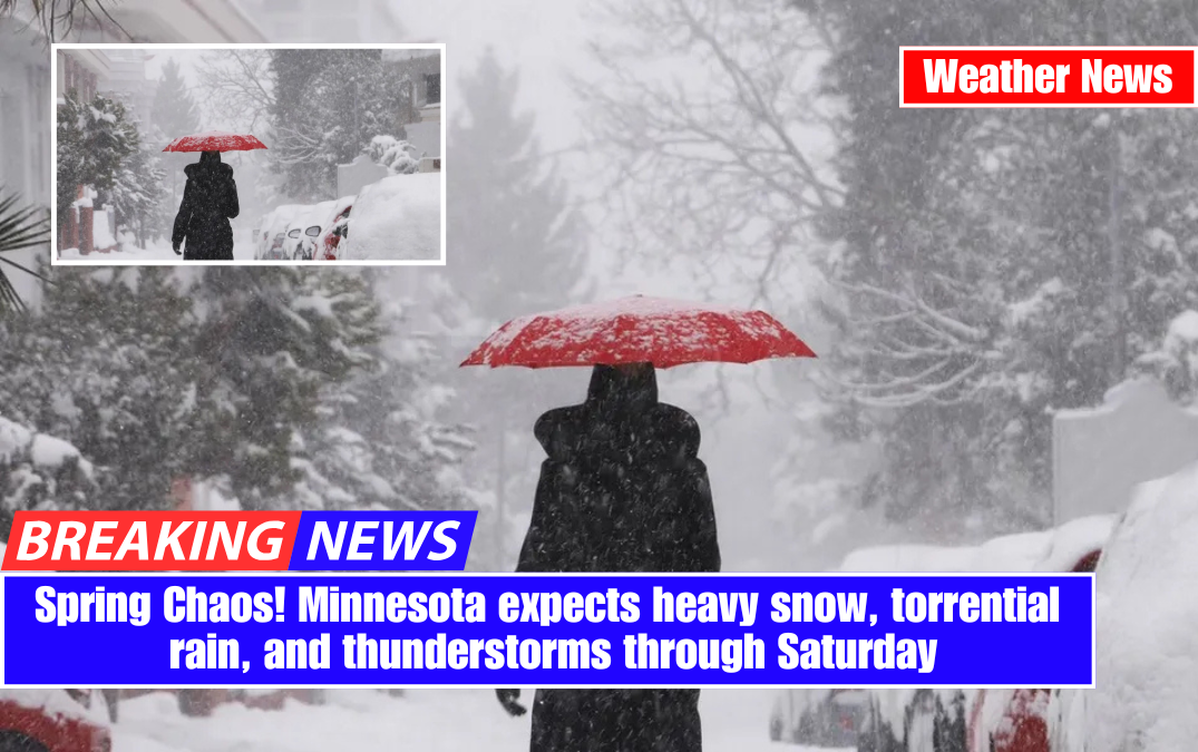
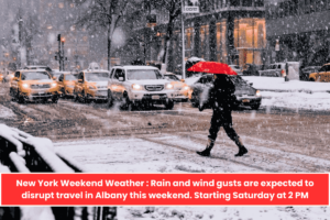
Chicago – Thunderstorms will hit the Chicago metro area overnight Friday and Saturday, bringing hail, strong winds, and travel hazards.
The National Weather Service warns that scattered storms could produce hail up to an inch in diameter, particularly along the I-55 corridor between Joliet and Hebron. Some thunderstorms could become severe by early Saturday morning. Gusts may reach 45 mph from Friday night into Saturday afternoon, endangering high-profile vehicles and outdoor plans.
According to the National Weather Service, storm activity is expected to move east-northeast at 40 mph beginning late Friday night and tapering off by midday Saturday. Saturday will start off wet, with morning rain and patchy fog before skies partially clear in the afternoon. High temperatures will reach the mid-60s.
Sunday brings another round of widespread showers, with a 90% chance of rain all day. Thunderstorms may resume, particularly east of I-57.
Looking ahead to the next week, conditions remain unstable.
Monday: A mix of rain and snow is possible, with a high of 40°F.
Tuesday: Mostly sunny but chilly, with highs in the low 40s.
Wednesday: A chance of showers, with highs near 54°F.
Thursday: Partly sunny, with another chance of rain.