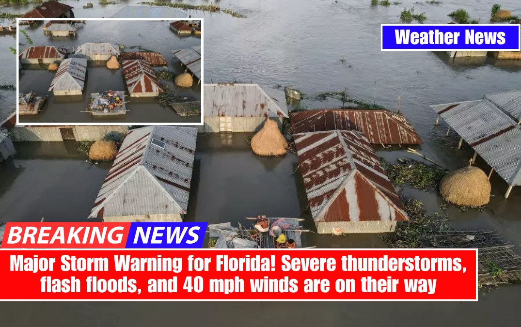
Today, Florida is under weather siege as a powerful storm system sweeps across the state, bringing torrential rain, strong winds, and dangerous thunderstorms. The National Weather Service has issued warnings for strong winds, heavy rain, and the possibility of isolated severe storms, urging residents to take immediate action.
Florida residents should prepare for power outages, downed trees, and hazardous travel conditions as this volatile weather system moves through. The worst of the storm is expected to last until 7 p.m. Monday before conditions begin to stabilise.

What’s Happening Across Florida?
Orlando and Central Florida: The day began with torrential downpours and booming thunderstorms. Meteorologists declared the morning a “Impact Weather” event, warning of flash flooding, hazardous road conditions, and strong wind gusts that could topple trees and power poles. While the storms will gradually move east by the afternoon, residual strong winds will remain a threat.
Tampa Bay Area: Residents awoke to morning thunderstorms and strong winds, but by midday, a cooler and drier air mass is expected to move in behind the storms. While the skies may clear later in the day, strong winds will continue, with gusts reaching 35 mph.

East Central Florida: A wind advisory is in effect until 7 p.m., with sustained winds ranging from 15 to 25 mph and gusts up to 40 mph. High winds may cause loose objects to fly, posing additional risks. Officials urge residents to secure outdoor furniture, decorations, and trash cans to keep them from becoming airborne projectiles.
South Florida: Cities such as Miami, West Palm Beach, and Fort Lauderdale have been designated as having a marginal severe storm risk.
Thunderstorms will continue into the late afternoon, bringing blinding rain, lightning, and strong wind gusts capable of causing structural damage. Localised flooding is also possible, especially in low-lying and poorly drained areas.

Why This Storm Is a Big Deal
This isn’t your typical rainy day in Florida. A fast-moving cold front collides with warm, moisture-rich air, resulting in ideal conditions for strong thunderstorms. The major threats include:
- Wind Gusts Over 40 mph – Strong enough to snap tree branches and cause power outages.
- Heavy Rainfall – Could lead to flooding in urban areas and low-lying regions.
- Severe Thunderstorms – Some storms could strengthen enough to produce large hail and isolated tornadoes.
Travel will be particularly hazardous during peak storm hours. Wet roads, ponding water, and sudden wind gusts can make driving dangerous, especially on highways and bridges.
How to Stay Safe in This Storm
- Stay Informed: Keep an eye on weather updates from the National Weather Service, local news, and weather apps.
- Secure Outdoor Objects: Bring in or tie down patio furniture, umbrellas, and any loose items that could be blown away by strong winds.
- Avoid Unnecessary Travel: If you must drive, watch for flooded roads and slow down in high-wind areas.
- Prepare for Power Outages: Charge your devices, keep flashlights and batteries handy, and avoid using candles for safety.
- Seek Shelter During Severe Storms: If a severe thunderstorm warning is issued, move to a sturdy indoor location away from windows until the storm passes.
This storm system poses significant weather hazards in Florida, and residents should take it seriously. Strong winds and heavy rain will continue all day, with conditions improving only after 7 p.m. Stay weather-aware, take precautions now, and ensure your loved ones are ready.