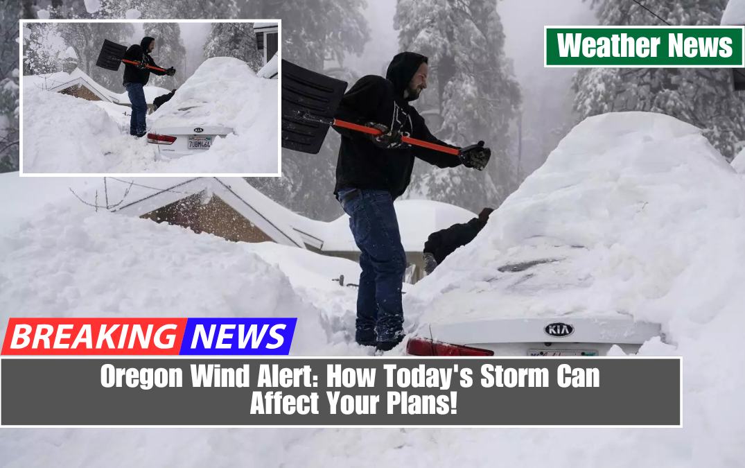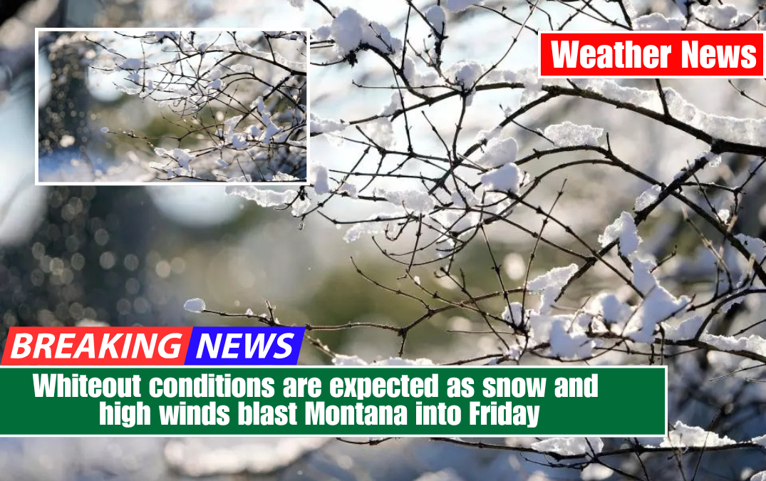
Montana is about to be hit by a major winter storm, bringing up to 15 inches of snow, strong winds, and hazardous travel conditions through Friday morning.
The National Weather Service has issued an emergency warning for large portions of the state, warning residents of near-whiteout conditions, snow-covered roads, and bitterly cold temperatures that could make being outside extremely dangerous.

This storm is expected to hit hardest in higher elevations, where snowfall totals will be the highest. However, even at lower elevations, icy roads, strong gusty winds, and brutally cold temperatures may cause widespread disruptions. If you have travel plans, be prepared for delays, road closures, and hazardous driving conditions.
What to Expect: Heavy Snow, Fierce Winds & Frigid Temps
Heavy Snowfall:
- Up to 15 inches of snow is expected in parts of Montana, with mountainous regions seeing the heaviest accumulation.
- Lower elevations will see 5-10 inches, which is still enough to cause travel disruptions.
- Snowfall will intensify overnight Thursday, with the worst conditions expected by early Friday morning.
Howling Winds & Brutal Wind Chills:
- Wind gusts could reach 40+ mph, causing blowing and drifting snow, significantly reducing visibility.
- Wind chills could drop into the single digits or even below zero, creating dangerous conditions for anyone outdoors too long.
- Blizzard-like conditions are possible, even in areas that don’t receive the highest snow totals.
Severe Travel Disruptions Expected:
- Highways, including I-90 and I-15, could become impassable due to snow and ice.
- Blowing snow and reduced visibility will make driving extremely hazardous.
- Expect major delays at airports, as flight cancellations and delays are likely due to the storm’s intensity.
How to Stay Safe During the Storm
- Avoid unnecessary travel—if you must drive, go slowly and allow extra stopping distance.
- Prepare for power outages—strong winds and heavy snow could take down power lines.
- Stock up on emergency supplies—food, water, extra batteries, and warm clothing.
- Dress in layers if you must go outside—frostbite can happen quickly in these extreme temperatures.
- Keep an eye on weather alerts—conditions could worsen suddenly.

When Will the Storm End?
By Friday afternoon, the snow will have subsided, but bitter cold temperatures and icy roads will persist through the weekend. Drivers should exercise caution because refreezing overnight could result in hazardous conditions well into Saturday morning.
The Bottom Line

This major winter storm is expected to bring dangerous conditions, including up to 15 inches of snow, high winds, and life-threatening wind chills. If you do not need to be on the road, stay inside and wait for conditions to improve.
Those who must travel should expect snow-covered roads, near-zero visibility, and the possibility of becoming stranded. Take this storm seriously; it will be a tough one.